Surveys & Investigations
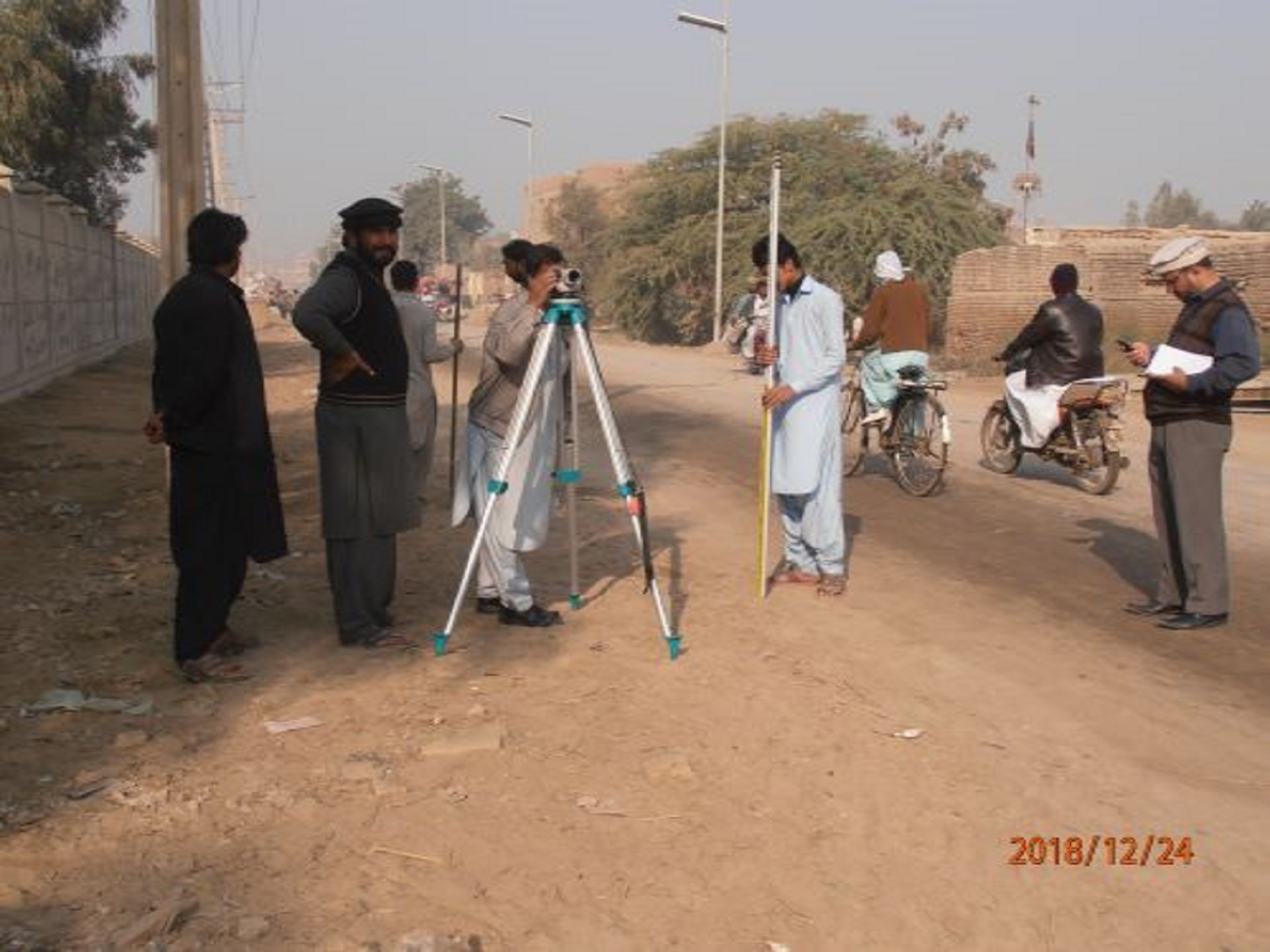
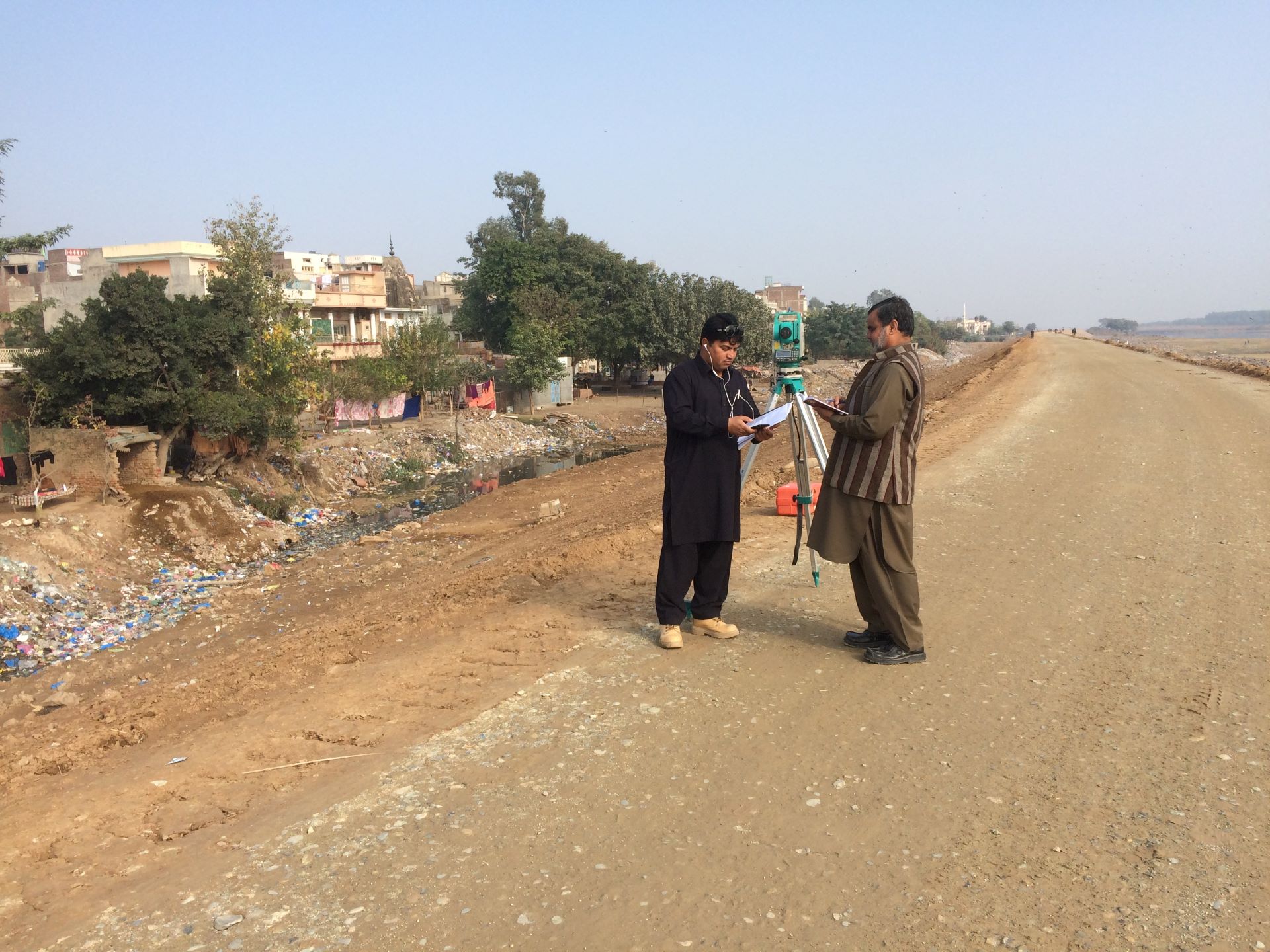
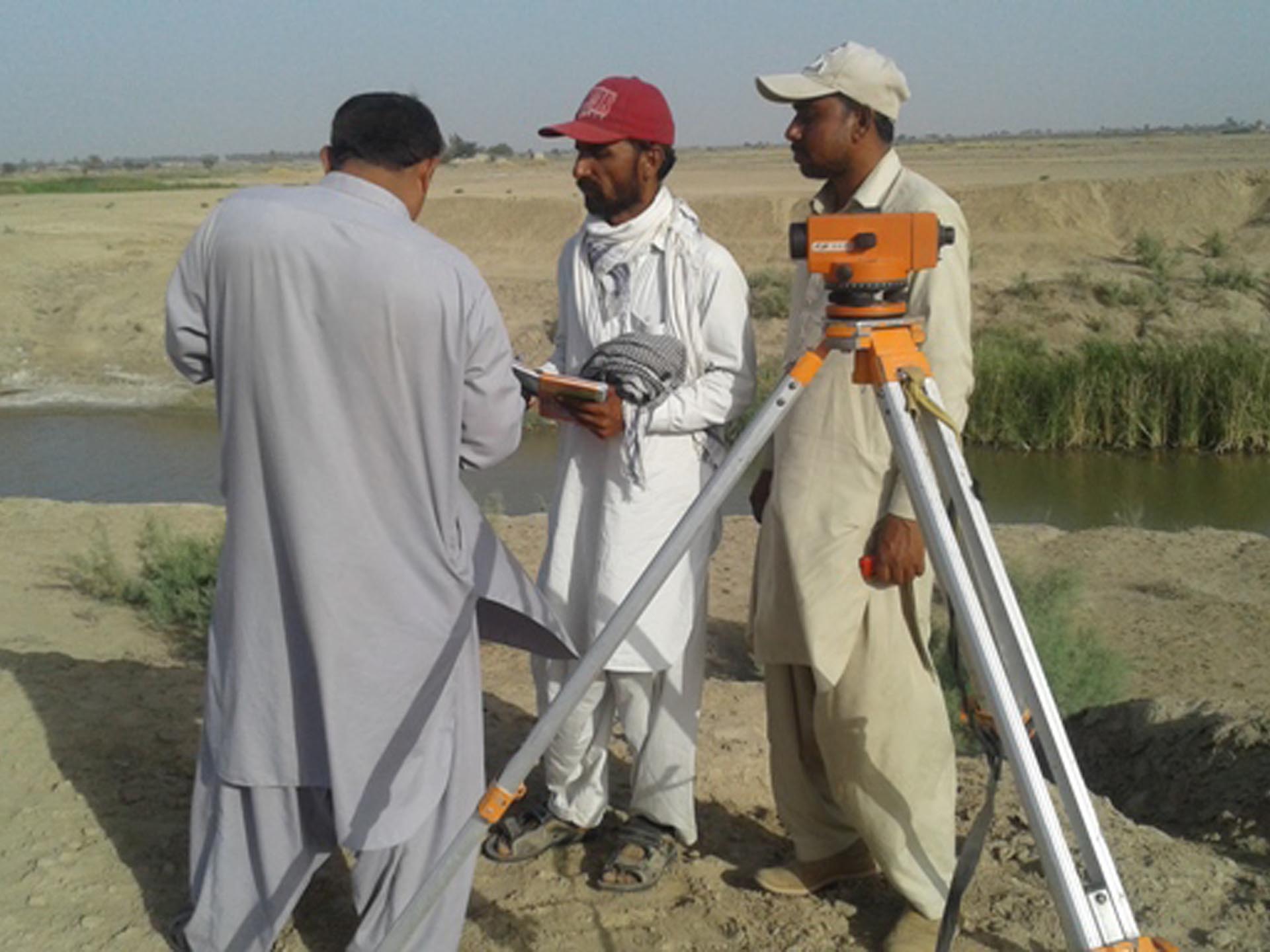
NDC provide a complete range of services in engineering surveys and mapping. NDC (Pvt.) Ltd own modern survey equipment and vehicles with competent surveyors to conduct plane and geodetic survey, land boundary and cadastral survey, topographic survey, route survey for canals and highways, hydrographic surveys and pre/post construction surveys for all types of engineering works.
NDC use modern survey techniques including Total Station Survey Instruments, Global Positioning System (GPS) and Electronic Data Recording (EDR). For instance, NDC carried out Precision surveys of Pehur High Level Canal System using GPS techniques. NDC experts utilize computer based Digital Terrain Modeling (DTM) systems and are also experienced in the Auto CAD environment
NDC, generally engage its own survey team for execution of topographic and hydraulic surveys of irrigation and barrages, flood protection works, highways, water supply lines. However, NDC also has expert survey engineers for planning, monitoring and supervision when survey works are executed by sub-consultants.
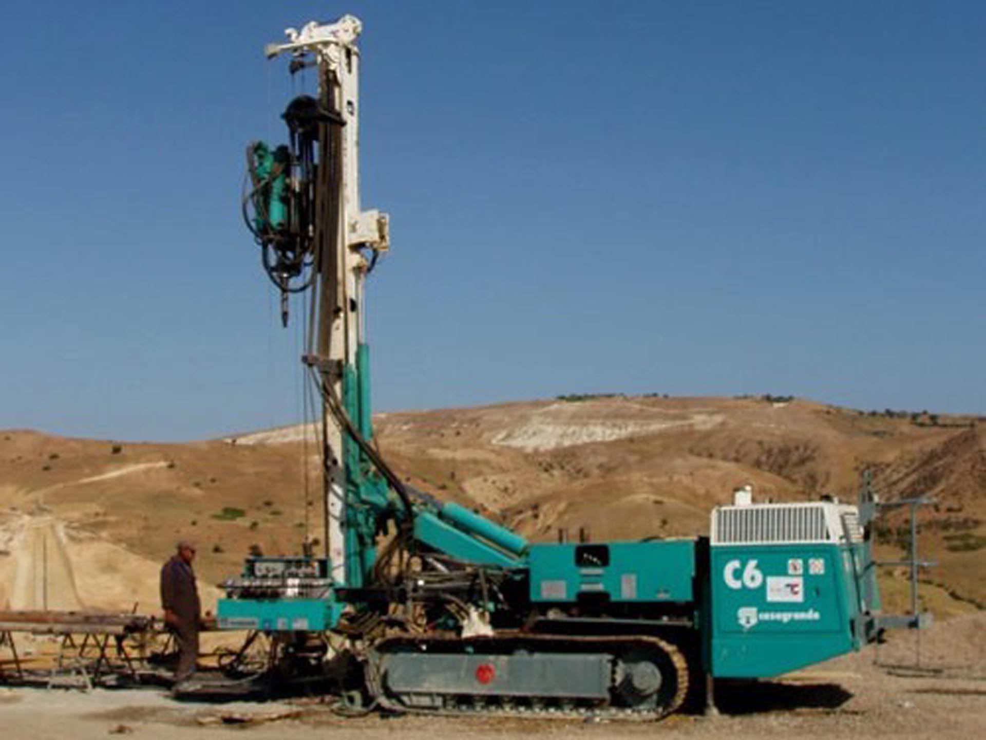
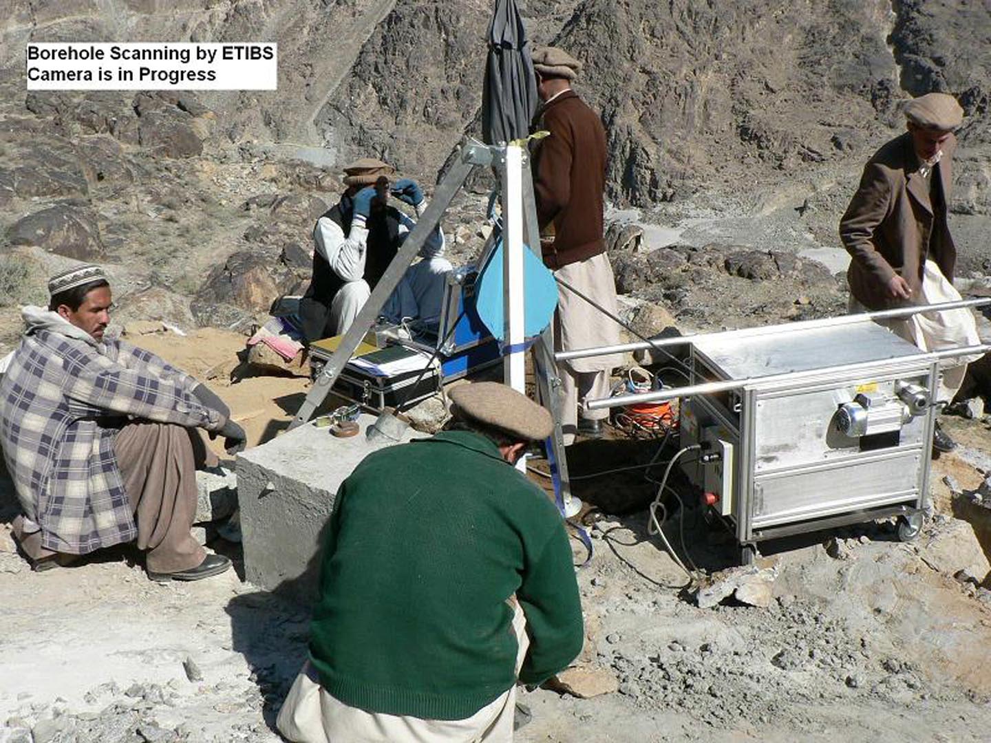
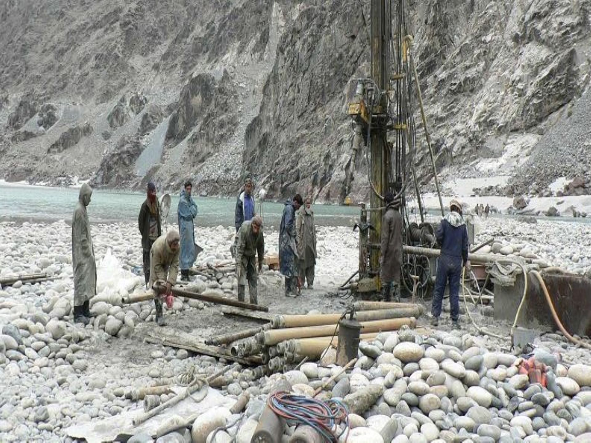
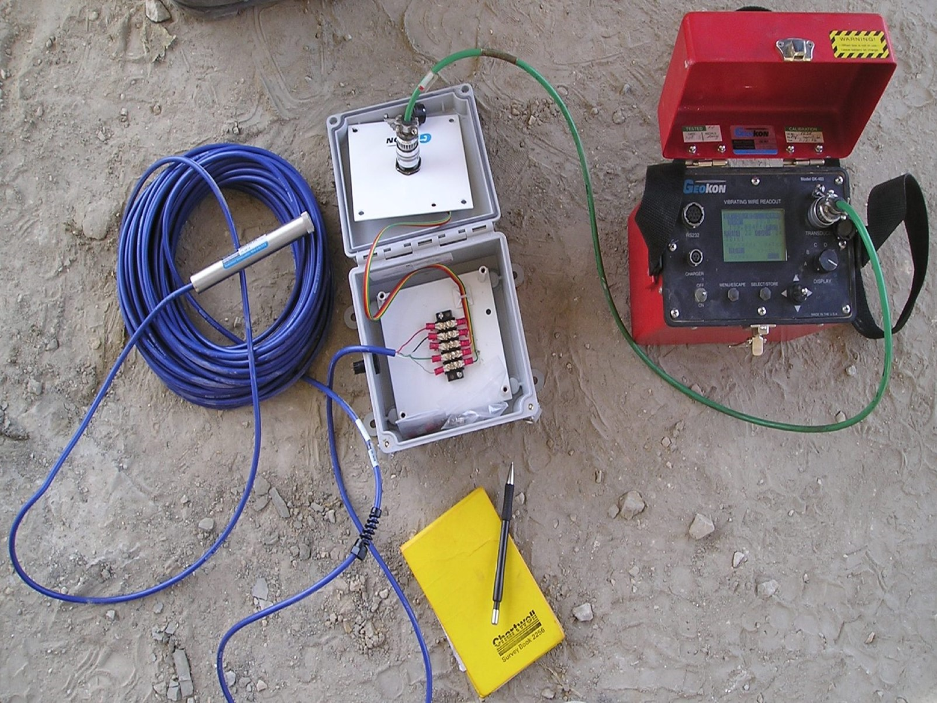
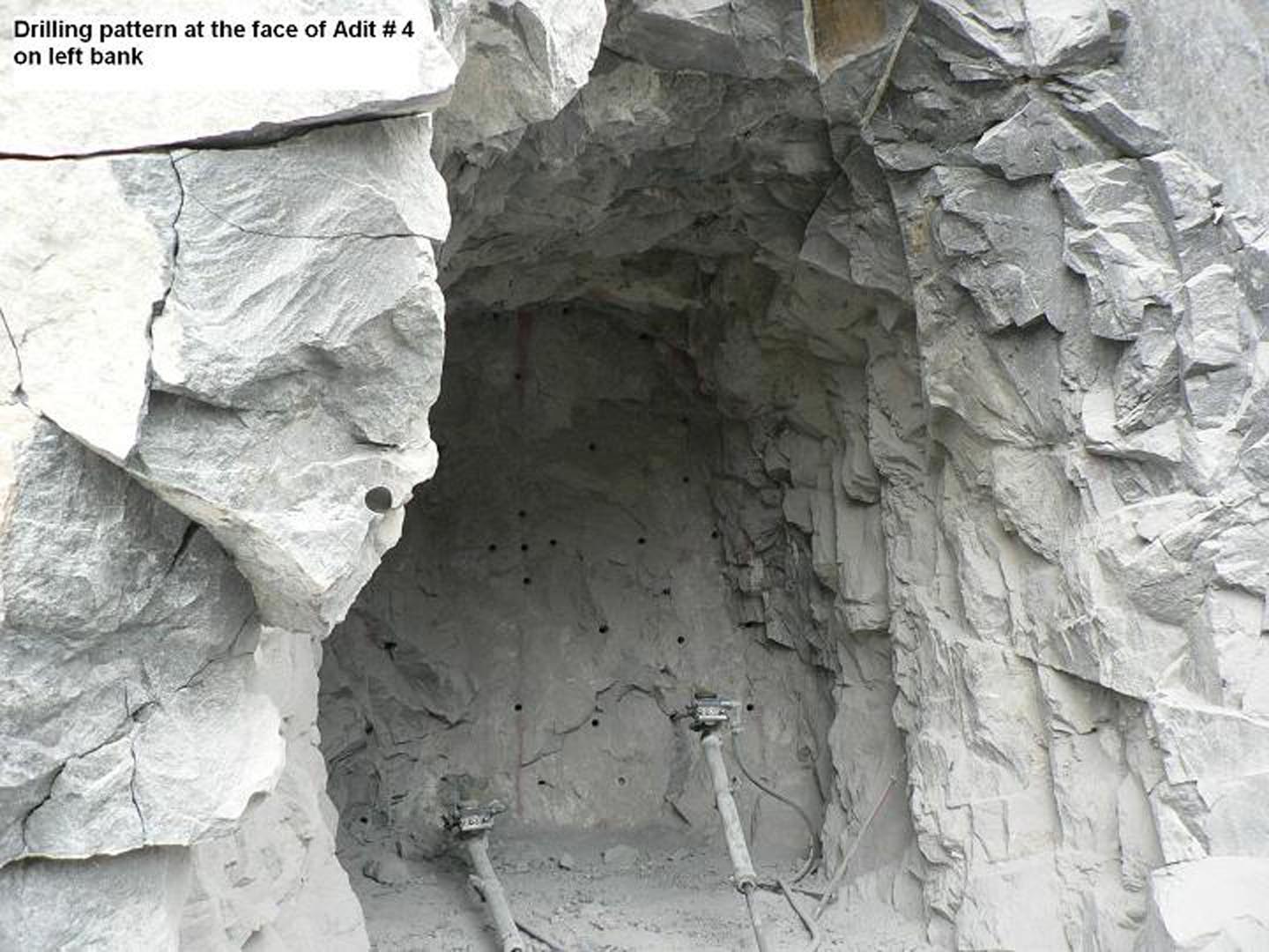
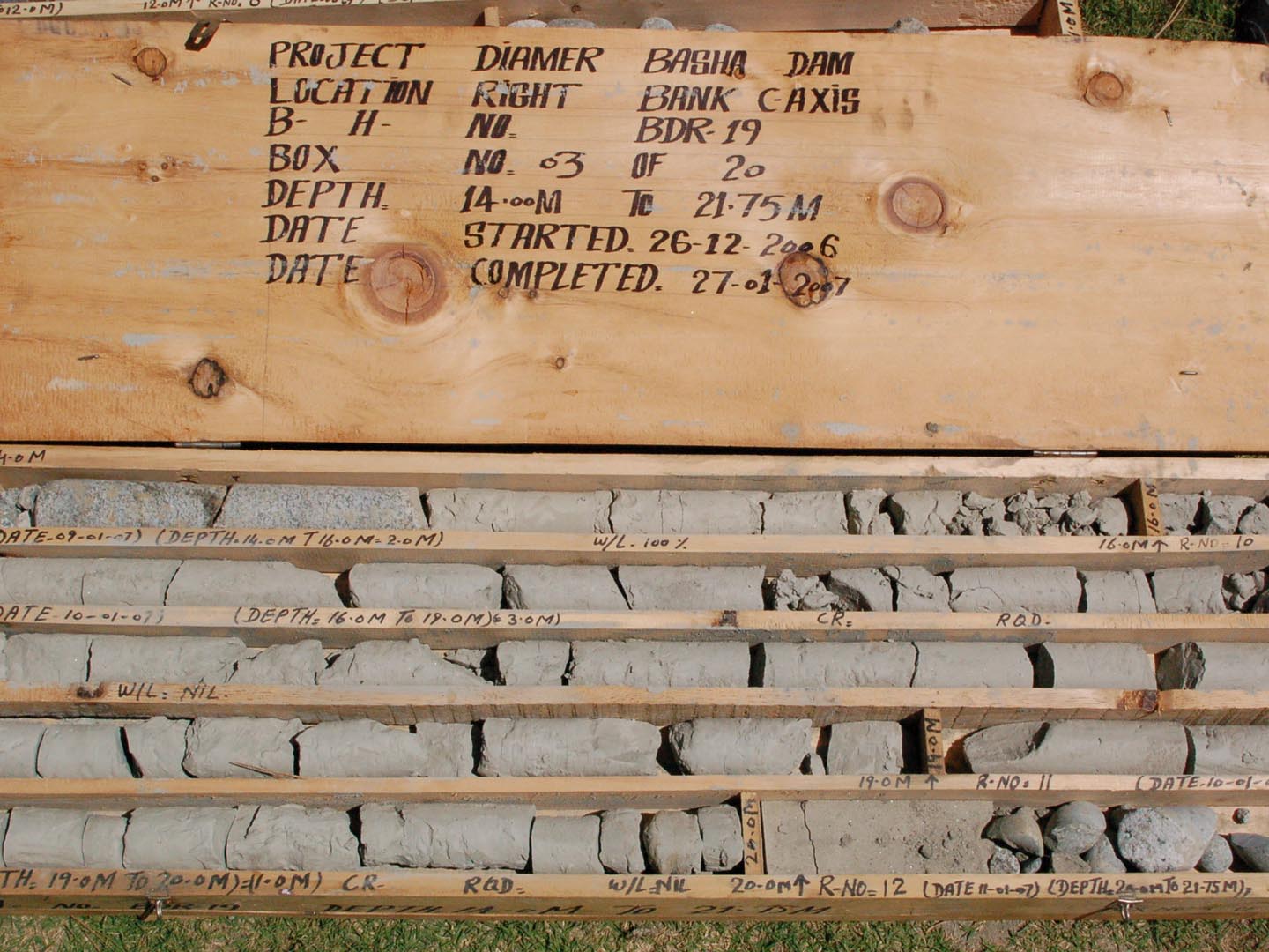
In Geo-technical Sector NDC offer Geo-technical Investigation Services by using core drilling method. The services are supervised by highly qualified & experienced geotechnical engineers and geologists, which allow us to successfully undertake ground investigations for a wide variety of:
- Foundation Engineering
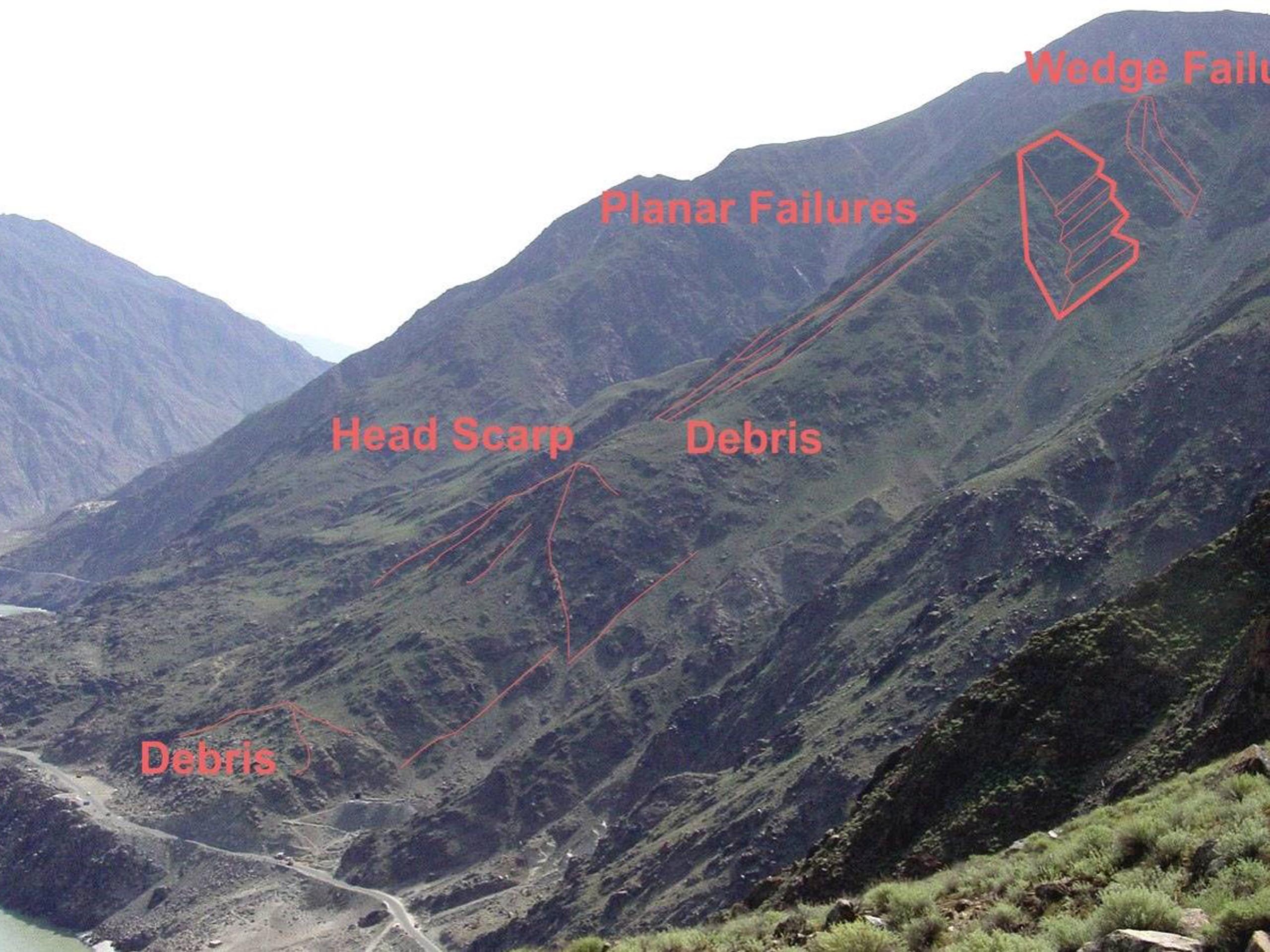
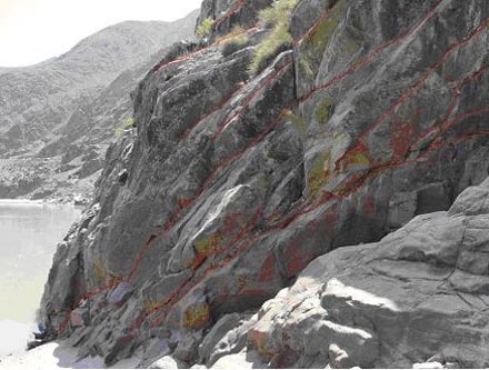
- Slope Stability Analysis
- Seepage Analysis
- Groundwater Modelling
- Geological Mapping
- Seismic Studies
- Rock Support Analysis
- Laboratory and Field Studies
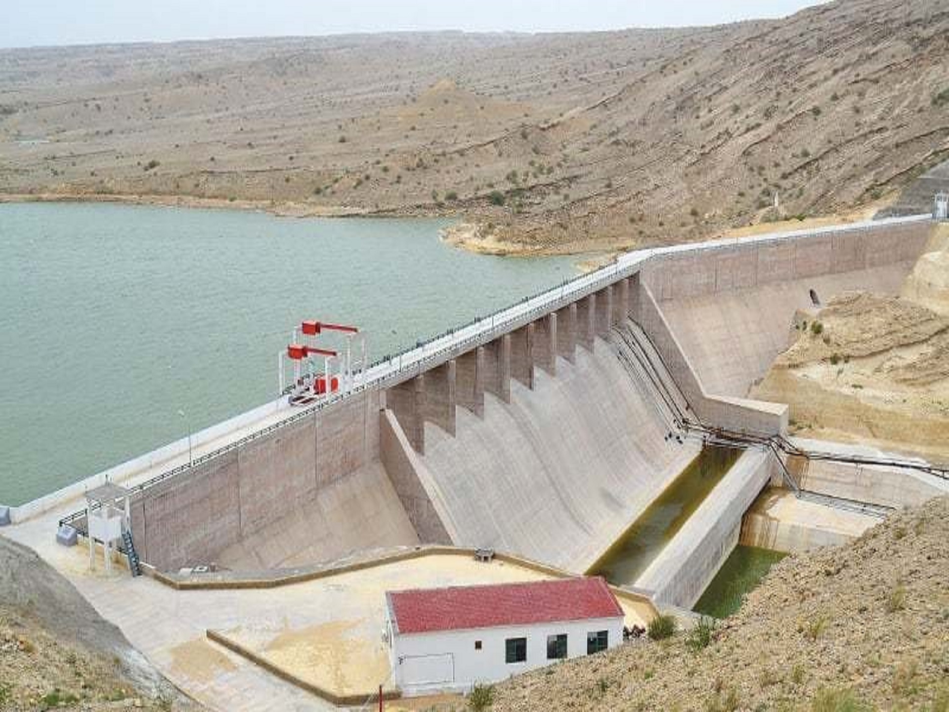
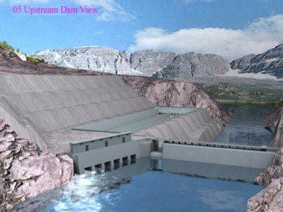
Dams & Hydropower
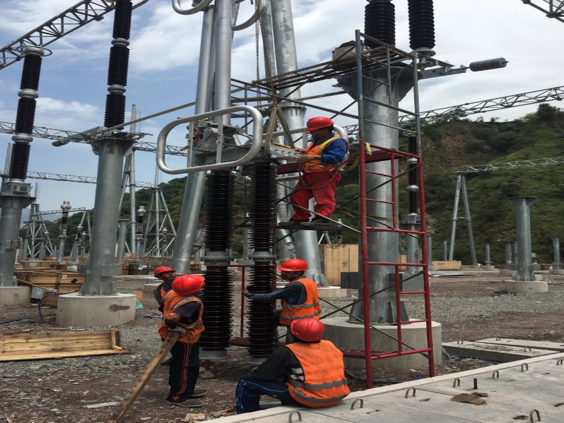
Power Generation & Transmission
Irrigation & Drainage
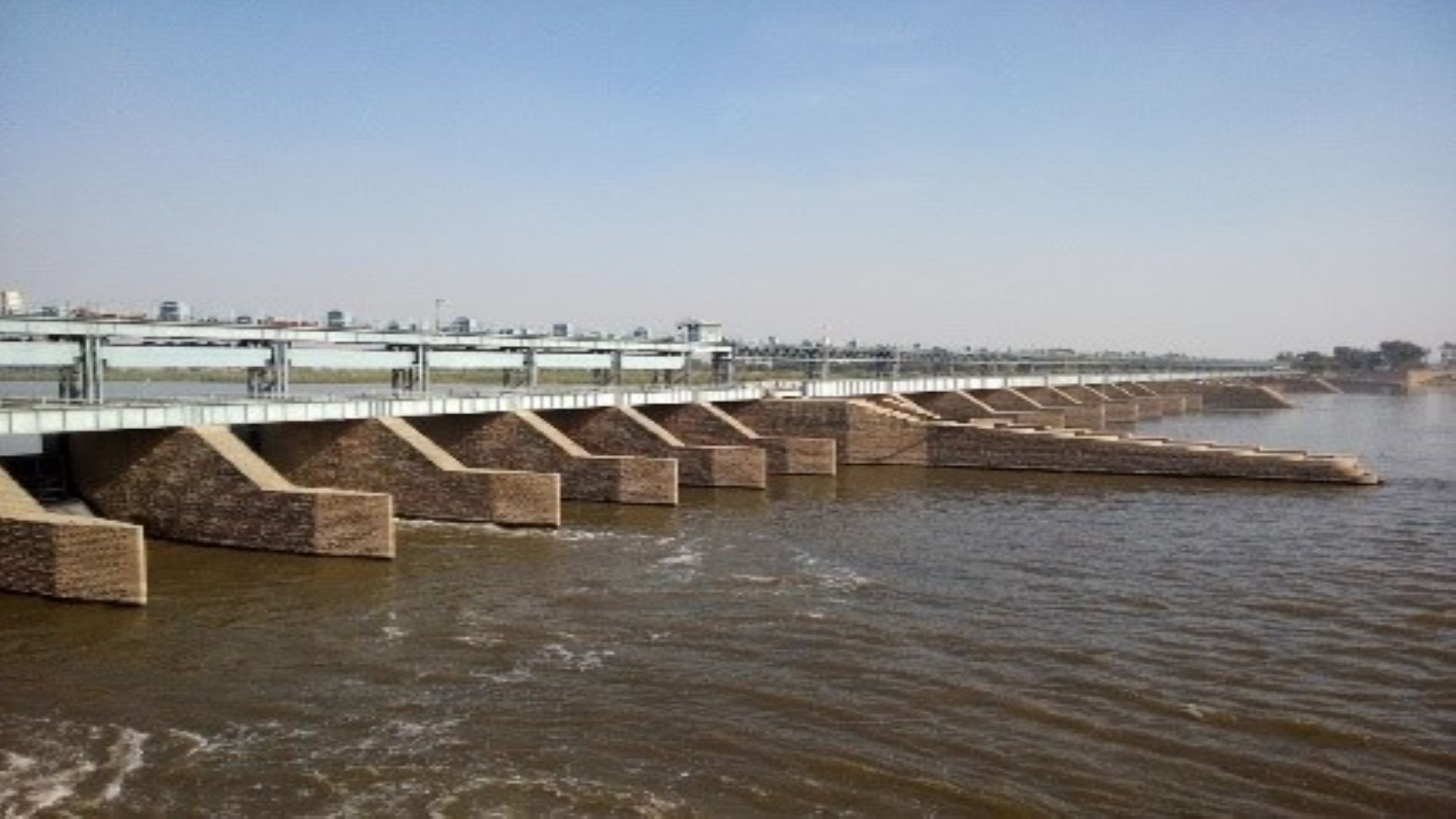
River Training & Flood Protection
Public Health Engineering
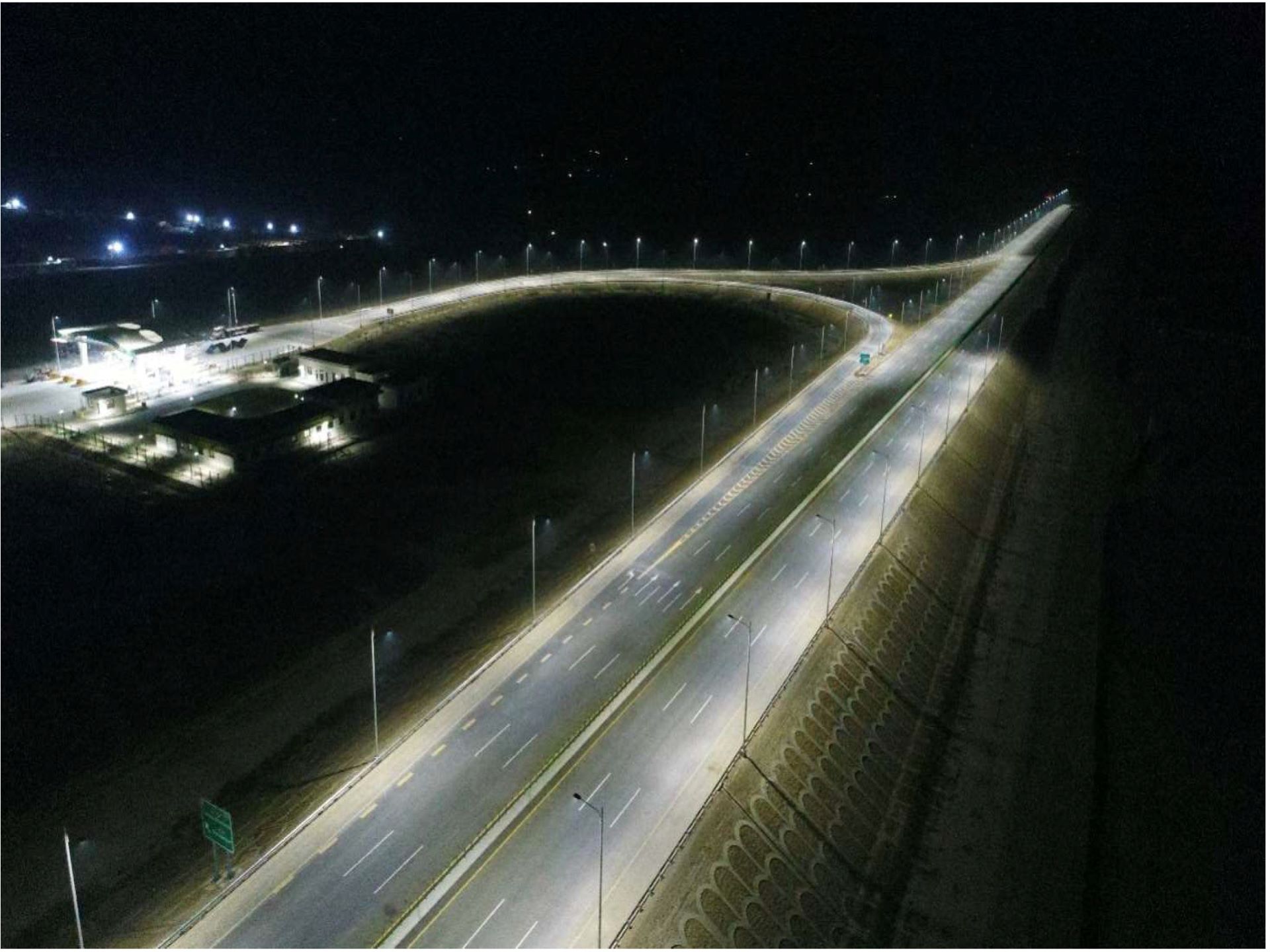
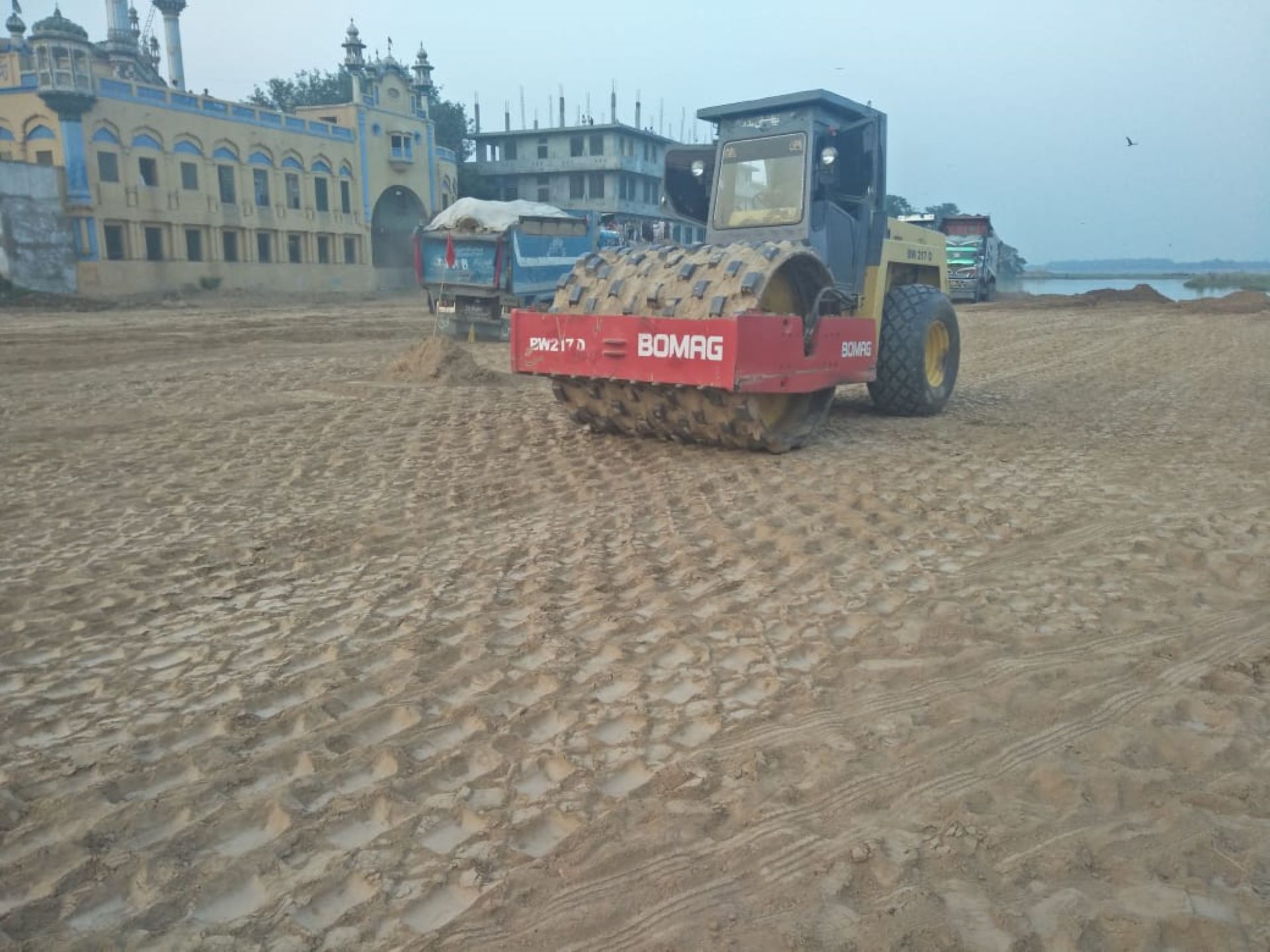
Transportation

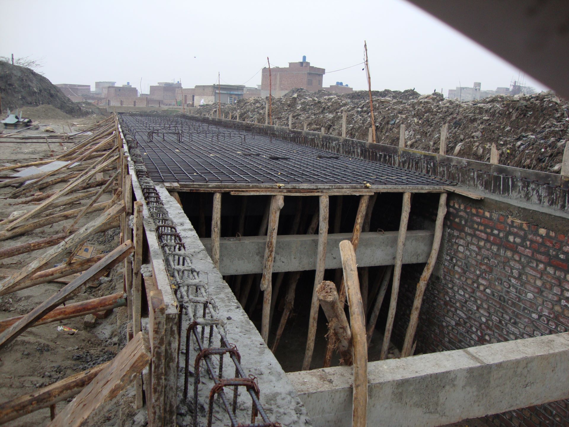
Buildings
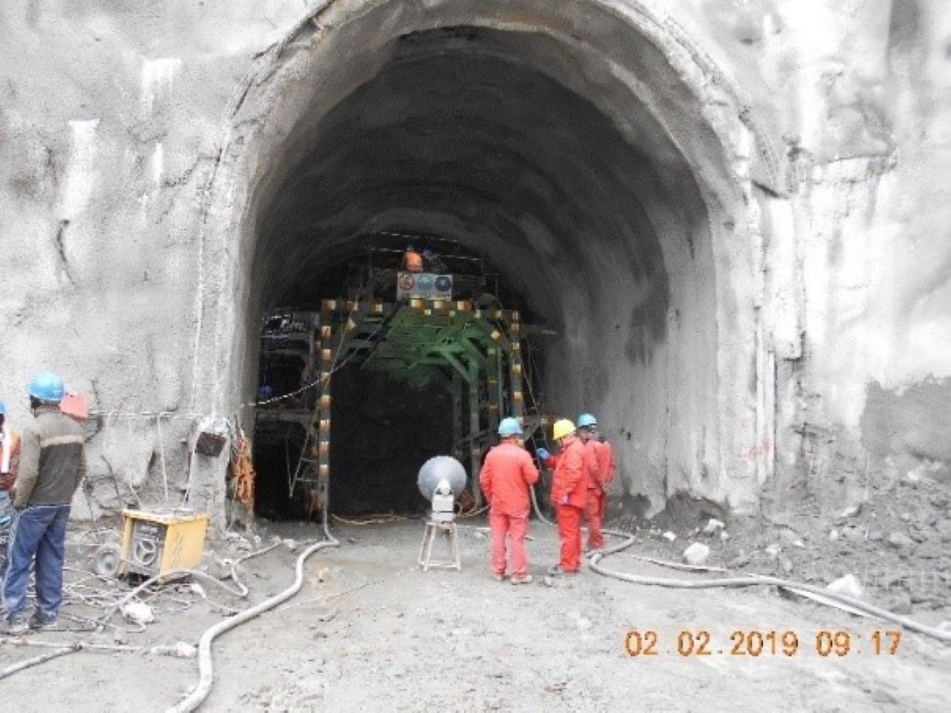
Tunneling
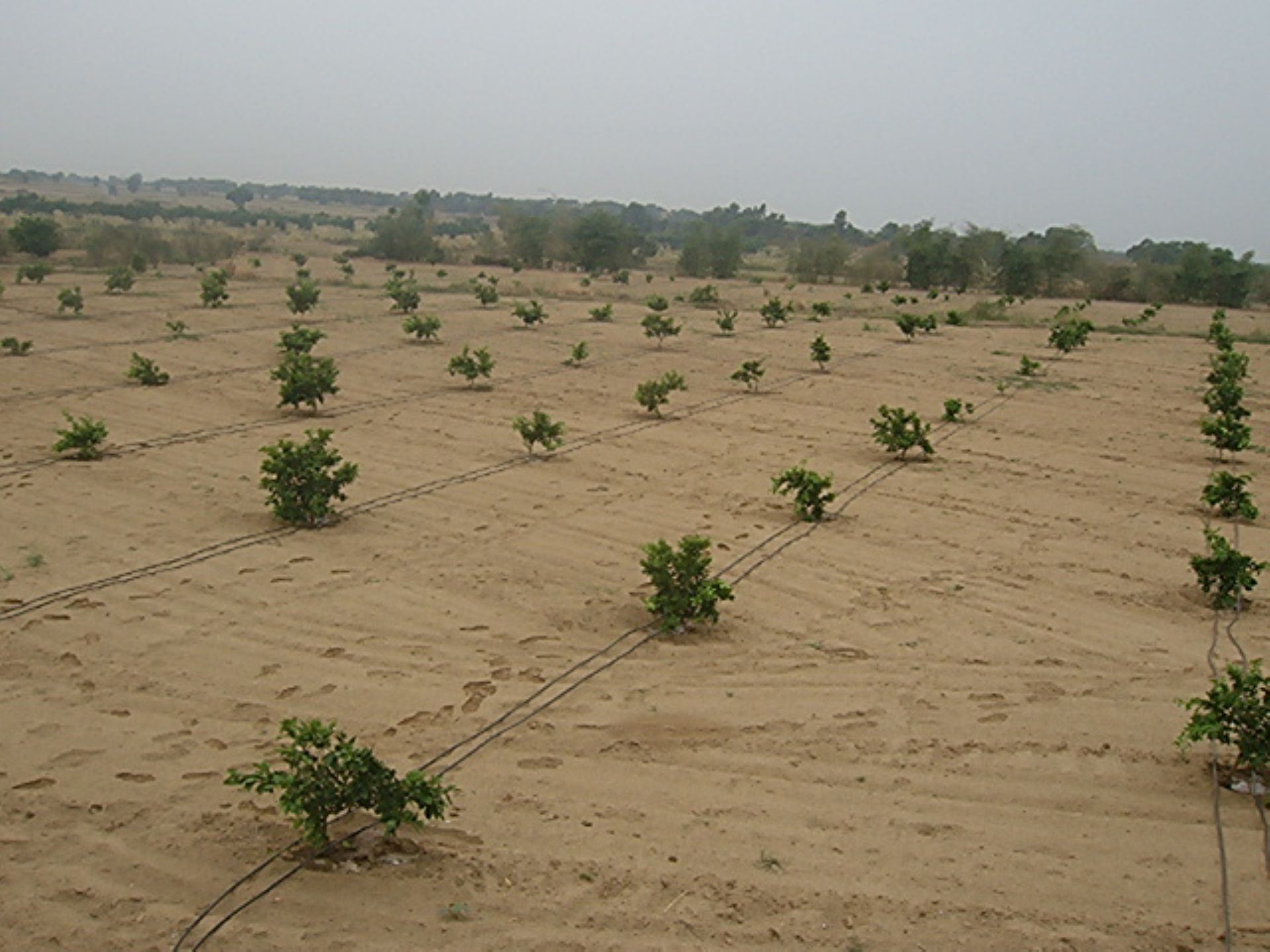
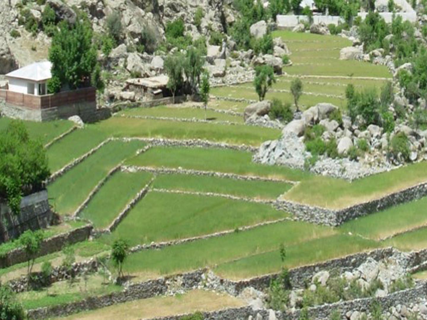
Agriculture & On-Farm Management
Surveys & Investigations
Environmental Engineering
Physical & Computer Modelling